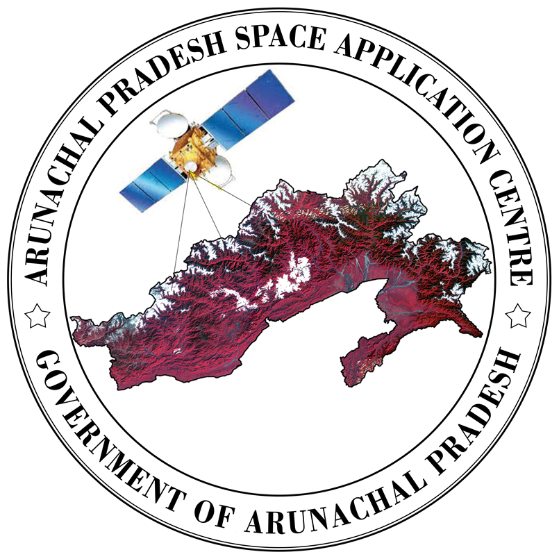
Arunachal Pradesh Space Application Center
Department of Science & Technology
Government of Arunachal Pradesh
Department of Science & Technology
Government of Arunachal Pradesh
Since its inception, the centre has been providing latest state-of-the-art technology in the field of Remote Sensing and GIS (Geographical Information System) services for various developmental activities in the state. The activities includes Land and water resources inventory, Mapping and monitoring of natural resources, Rural and urban area survey and mapping, Cadastral surveys, Topographical surveys , Land and water resources mapping for urban and rural area development, Land use / land cover mapping, Wasteland mapping, monitoring and change analysis, Ground water prospect mapping, Road alignment studies, Snow cover & glacial mappings for climate change studies, Potential area identification for horticulture and sericulture development, Digital Elevation Model (DEM) generation, Hazard zonation mapping of earthquake, landslides and flood, Topographical surveys of catchment areas, Land degradation mapping using state-of-the-art Remote Sensing and GIS technologies.etc. The centre has been providing single window geospatial support services from time to time to various user departments (both central and state government organizations), NGOs, individuals, Public leaders, DCs, BDOs, Circle Officers, DRDA officials, teachers and students of colleges and universities. SRSAC has extended its services in formulating project proposals to different departments, individuals in delineating administrative boundaries, forest and wild life sanctuary boundaries. Wasteland maps prepared by the centre have been used extensively by various departments, NGOs, and Project Directors of DRDAs. It may be mentioned here that SRSAC has also extended its services to several DCs and CO’s for delineating the administrative boundaries of their respective districts and circles. The Centre also offers the following services to all the line departments of Central and State Governments, public /private sector organizations, NGOs, or any fellow citizens of Arunachal Pradesh / India: